

MyTrails screenshots (15)
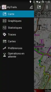
Description MyTrails
Ready to Navigate the Wild Without a Single Ad in Your Way?
Imagine planning your next big hike, bike ride, or backcountry ski tour. You pull out your phone to check the route, only to be interrupted by a pop-up ad. Frustrating, right? What if your navigation app just let you explore, with crystal-clear maps and powerful tools working silently in the background? MyTrails is built from the ground up for that exact experience. This is a professional-grade outdoor navigation platform that treats your adventure time as sacred, removing all advertising clutter even in its free version so you can focus entirely on the trail ahead. It transforms your smartphone into a reliable expedition companion, whether you're running local trails or navigating remote coastlines.
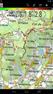
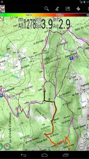
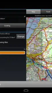
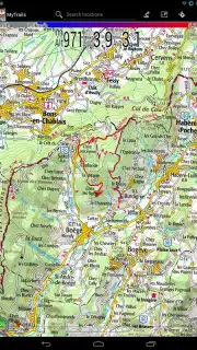
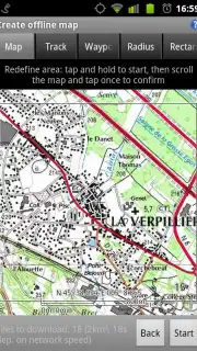
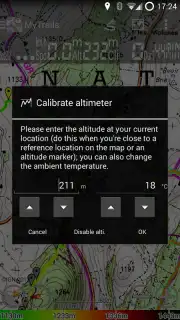
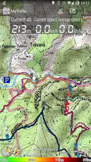
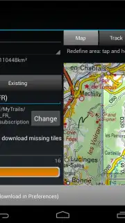
The core of this experience lies in its premium topographic maps, available through in-app purchase. These aren't just simple charts; they are highly detailed, specialized maps that include options like nautical charts for kayaking or coastal hiking, giving you the confidence to venture further. You can download these maps for full offline use, which not only saves your mobile data but significantly conserves battery life—a critical feature when you're miles from the nearest power outlet. The app leverages your phone's built-in GPS and compass to auto-rotate the full-screen map display based on your direction of travel, so you're never fumbling to orient yourself. The rendering is hardware-accelerated, ensuring smooth performance and unmatched clarity even when displaying dense networks of trails and thousands of track points.
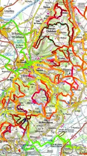
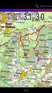
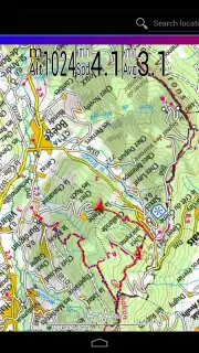
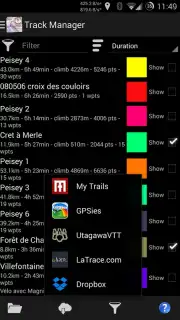
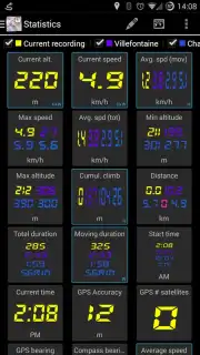
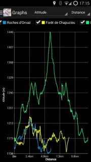
Your performance data is captured in stunning detail. Choose from over 40 different statistics to monitor—from speed and elevation to pace and distance—displayed right on your map overlay, a customizable dashboard, or even on an Android Wear device. After your activity, dive into comprehensive graphs and detailed elevation profiles to visualize your effort and gain real insights into your performance. Recording a GPS track is instantaneous, and with the Pro upgrade, you can display multiple tracks simultaneously in different colors, making it effortless to compare today's route with past adventures or a planned itinerary. The app eliminates the need for complicated desktop software for map creation; everything is managed seamlessly on your device.
Interaction feels intuitive and powerful. Use a three-finger swipe to cycle between different map layers instantly, or pull down on the screen to activate a head-up display (HUD) that projects key stats in a simplified, glanceable format. For the social adventurer, the Pro version enables you to publish your crafted routes directly to platforms like My Trails and download routes shared by a community of fellow explorers. Designed with larger screens in mind, MyTrails offers full tablet support and provides sync capabilities via Dropbox, allowing you to plan your journey meticulously on a big screen at home and then have all that data ready on your phone in the field. It’s a complete planning and execution toolkit that ensures you have every necessary piece of information at your fingertips.
- Premium offline topographic maps
- Over 40 trackable performance statistics
- Ad-free experience, even offline
- Full tablet and smartwatch support
Download MyTrails now to unlock exclusive, early-access map layers for a limited time. New users today get a special trial period for Pro features—start navigating smarter before this offer vanishes!
Heads up: you'll need wifi for initial map downloads and syncing. Some cool stuff, like specialized marine charts and advanced social sharing, is extra.
Information
| Version | 2.1.12b1 |
| Developer | FrogSparks |
| Requirements | Android Android + 4.1, 4.1.1+ |
| Updated | 17.03.2026 |
| Size | 10.31 MB |
| Package | com.frogsparks.mytrails |
| Signature | d1d28d890ffa1e3fb728c946e6f93a3c |
| Architecture | universal |


