


NaviMaps screenshots (16)



Description NaviMaps
Navigating India's Complexities, Simplified
For anyone who has faced the frustration of outdated maps, unreliable turn-by-turn guidance in dense urban areas, or a lack of detailed local points of interest while traveling across India, conventional navigation apps often fall short. NaviMaps, built on MapmyIndia's authoritative and deeply local mapping data, directly addresses these pain points by offering a navigation experience engineered specifically for the subcontinent's unique infrastructure, from sprawling metropolitan labyrinths to remote rural pathways.
A Deeply Localized Navigation Engine
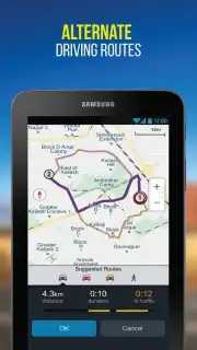
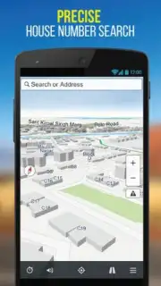
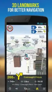
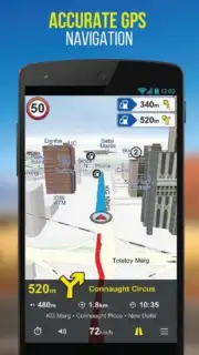
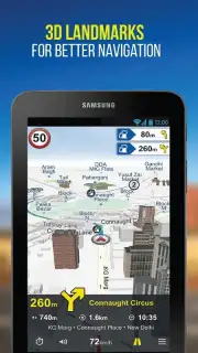
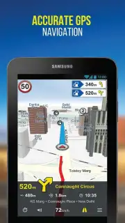
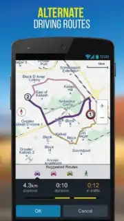
NaviMaps functions as a comprehensive digital co-pilot, leveraging MapmyIndia's extensive, ground-truthed database. The core experience is built around hyper-accurate, voice-guided turn-by-turn navigation for cars, bikes, and pedestrians, with routes that account for complex interchanges, recent road changes, and even traffic light locations. Beyond basic routing, the app provides rich, visual driving views with realistic 3D landmarks and building footprints, significantly reducing ambiguity at confusing intersections. A standout feature is its exhaustive directory of over 10 million points of interest, including precise locations for small businesses, petrol pumps with brand-specific filters, ATMs, and restaurants, all searchable in English and multiple Indian languages. For the urban explorer, it offers detailed walking maps of major city neighborhoods, while the integrated safety features like live location sharing and SOS alerts add a critical layer of security for long-distance or solo travel.
Key Advantages Over Generic Solutions
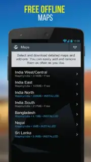
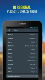
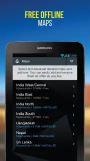
The primary advantage of NaviMaps is its unparalleled map accuracy and freshness, a result of MapmyIndia's decades of on-ground survey work. This translates to a user experience defined by reliability and context. The interface is designed for clarity, even in challenging sunlight, with intuitive gestures for zooming and plotting routes. Performance is optimized for the Indian mobile network landscape, offering robust offline functionality where users can download entire states or regions for full-featured navigation without an internet connection. The app’s voice guidance is calibrated for Indian pronunciations of street and locality names, ensuring instructions are understood correctly the first time.
- Offline-First Navigation: Download detailed maps of states or cities for full routing, search, and guidance without any mobile data connection.
- Hyper-Local POI Search: Access a vast, verified database of millions of businesses, services, and landmarks across India.
- 3D Landmarks & Building Views: Navigate with confidence using recognizable visual cues at complex junctions and city centers.
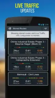
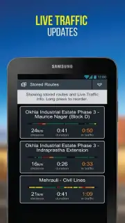
- Multi-Modal Routing: Get optimized directions for driving, biking, and walking with real-time traffic considerations.
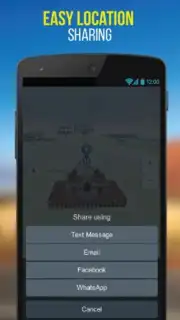
- Live Location Sharing & Safety: Share your ETA and real-time trip progress with family or contacts directly from the app.
Don't waste another moment on unreliable directions. Download NaviMaps now and experience navigation that truly understands India. Get it immediately!
Disclaimer: This app requires an internet connection for initial map downloads, real-time traffic, and certain search functions. Some advanced features may require a subscription or in-app purchase. The app is suitable for users of all ages. Data usage applies when using online services; offline maps consume significant storage space. MapmyIndia is a registered trademark.
Information
| Version | 3.9.0.0 |
| Developer | MapmyIndia |
| Requirements | Android Android + 6.0+ |
| Updated | 17.03.2026 |
| Size | 82.29 MB |
| Package | com.mmi.navimaps |
| Signature | a615869f61b86fb16b788be67582f822 |
| Architecture | armeabi-v7a, arm64-v8a |


