

Open GPS Tracker screenshots (7)
Description Open GPS Tracker
Track Every Journey with Precision
Imagine setting out on a new route, whether for a morning run, a scenic bike tour, or a critical site inspection for work. Your path is unique, and having a precise, visual record of that journey transforms how you review, optimize, and share your travels. Open GPS Tracker is engineered for this exact purpose, turning your Android device into a dedicated logging tool that captures every turn and speed variation with technical accuracy. It moves beyond basic location logging to provide a dynamic, analytical view of your movement directly integrated with Google Maps.
Core Functionality and Customization
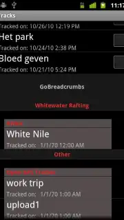
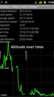
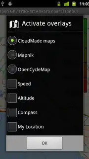
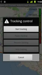
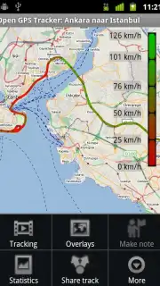
The application operates by continuously recording your GPS coordinates, plotting them in real time on a detailed map interface. This live tracking is enhanced by intelligent data visualization, using color-coded trails to instantly communicate speed changes—from a steady walk to a rapid sprint—allowing for immediate visual analysis of your performance or route efficiency. Each recorded trip is stored as a complete dataset, which can be reviewed, edited, and analyzed post-travel. The system offers a high degree of customization, enabling users to tailor tracking parameters, map views, and data points to suit specific activities like hiking, cycling, or professional fleet monitoring.
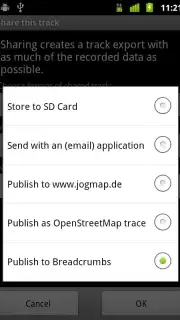
For users who require detailed documentation, the app serves as a historical archive of all movements. This is particularly valuable for compiling travel logs, verifying service routes, or analyzing athletic training patterns over time. The ability to export these tracked routes in standard formats facilitates easy sharing with teams, clients, or fellow enthusiasts, or for import into other planning and mapping software. The process is designed to be resource-efficient, running reliably in the background without interrupting other device functions.
- Actively plots your real-time position and full travel route on Google Maps with high precision.
- Employs color-coded trail mapping to visually represent different speed segments throughout your journey.
- Saves and archives complete trip histories for long-term review, comparison, and route optimization.
- Provides customizable tracking settings to adapt to various activities like sports, travel, or work logistics.
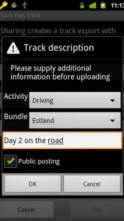
- Enables export and sharing of detailed route data for collaboration, reporting, or personal record-keeping.
Start building your detailed travel archive today and transform how you navigate and document every mile. Download the mobile app now.
Internet required. IAP available.
Information
| Version | 2.5.3.b130 |
| Developer | René de Groot |
| Requirements | Android Android + 5.0+ |
| Updated | 17.03.2026 |
| Size | 3.62 MB |
| Package | nl.sogeti.android.gpstracker |
| Signature | 827979a6b901e97f1240a70a7d1b2f39 |
| Architecture | universal |