

Aponia Truck Navigation screenshots (14)
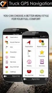


Description Aponia Truck Navigation
Imagine navigating a narrow, winding mountain pass with a 40-ton truck, relying on a standard car GPS that blissfully ignores bridge heights and weight limits. That moment of cold dread is what professional drivers face daily, turning every unknown route into a calculated risk. Aponia Truck Navigation is engineered to eliminate that uncertainty, transforming your device into a dedicated co-pilot that understands the unique physics and legal constraints of commercial transport.
Core Navigation Mechanics & Tools
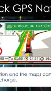
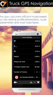
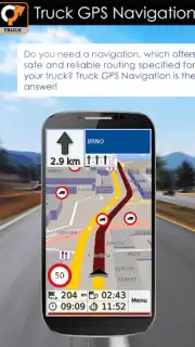
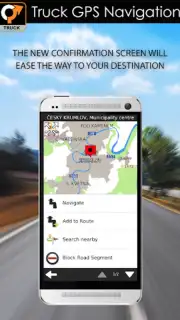
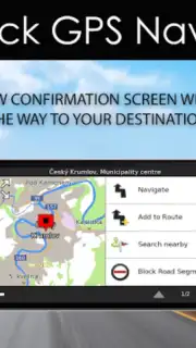
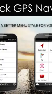
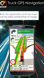
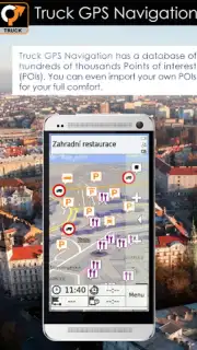
This application functions as a specialized routing engine built from the ground up for trucks, vans, buses, and caravans. It processes your vehicle's exact profile—including dimensions, weight, axle count, and cargo type—against a constantly updated database of road regulations. The system doesn't just find a path from A to B; it calculates the legally compliant and physically possible route, actively avoiding roads with restrictive low bridges, narrow widths, weight-limited viaducts, or bans on hazardous materials. The map display is tailored for clarity at a glance, highlighting truck-specific points of interest like certified rest stops, weigh stations, truck-friendly fuel stations, and large parking areas.
Operational Advantages & User Experience
The primary strength lies in its proactive hazard prevention and logistical intelligence. Beyond basic avoidance, the app provides advanced trip planning with elevation profiles to prepare for steep grades, and calculates estimated fuel consumption based on route topography. The interface is designed for minimal distraction, with large, legible buttons and voice-guided instructions that use clear, professional terminology. Performance is optimized for continuous use over long hauls, with efficient data handling to conserve battery and data usage where possible, while ensuring map and traffic updates are received seamlessly.
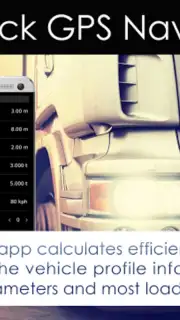
- Vehicle Profile Routing: Input exact height, width, weight, and cargo type for custom, compliant route generation.
- Advanced Hazard Avoidance: Actively steers clear of low bridges, weight limits, narrow roads, and environmental zones.
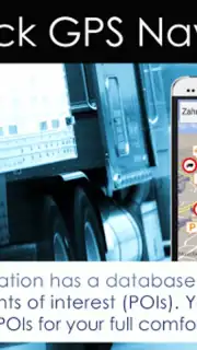
- Truck-Specific POI Database: Locate verified truck stops, weigh stations, large parking, and HGV-friendly fuel points.
- Detailed Trip Planning: Review full route elevation profiles, toll costs, and estimated fuel usage before departure.
- Offline Map Compatibility: Download regional maps for reliable navigation even in areas with poor cellular coverage.
Download Aponia Truck Navigation now. This is not just another map app—it's essential professional toolkit. For a limited time, new users receive exclusive access to premium features for extended evaluation. Install today and turn your next haul into a confident, calculated journey.
Internet required. IAP available.
Information
| Version | 3.12.30260 |
| Developer | Aponia Software, s.r.o. |
| Updated | 17.03.2026 |
| Size | 41 MB |
| Package | cz.aponia.bor3.truck |
| Signature | 254ddb15c7838a0af11a3f129abe2c45 |
| Architecture | armeabi, armeabi-v7a |


