


Locus Map screenshots (11)

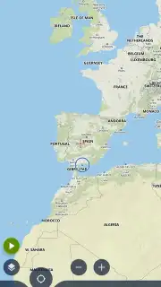
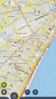
Description Locus Map
Transform Your Navigation with a Professional-Grade Offline Mapping System
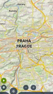
Locus Map delivers a comprehensive topographic mapping and advanced navigation suite designed for serious outdoor enthusiasts and professionals. This mobile app moves beyond basic turn-by-turn to provide a detailed, multi-layered geospatial toolkit directly on your device. It solves the critical problem of reliable orientation in remote areas without cellular service by utilizing downloadable vector and raster maps from a vast global catalog. The system is engineered for precise track recording, sophisticated route planning, and deep data analysis for activities like hiking, cycling, geocaching, and field data collection.
Core Functionality and Technical Features
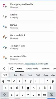
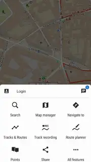
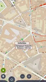
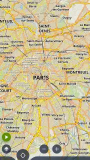
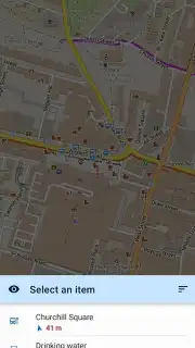
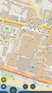
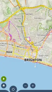
The application operates as a central hub for geographic data, supporting a wide array of free and premium map sources including OpenStreetMap, specialized cycling networks, and official national topographic surveys. Its core mechanic revolves around creating and managing vector points, lines, and areas, which can be extensively annotated and organized into layered projects. The mobile app features multiple dedicated navigation modes: a classic compass-based 'Follow Me' for off-trail travel, turn-by-turn road guidance, and a unique 'Point Navigation' for targeting distant waypoints. For data gathering, it offers customizable forms for attaching photos, text notes, and sensor readings to specific geographic coordinates, creating rich geodatabases.
Performance is centered on offline reliability and user-configurable detail. The entire interface, from the main map screen to the dashboard panels and menu systems, can be tailored. Users can select which data layers are visible, control map rendering priorities, and design custom dashboard layouts showing metrics like altitude, speed, distance, and GPS accuracy. The mobile app integrates with various external sensors via Bluetooth, including heart rate monitors, cadence sensors, and external GPS receivers for enhanced precision. Visuals are functionally clear, with map themes adjustable for day, night, or terrain-specific viewing, ensuring optimal readability in all conditions.
Key Advantages
- Unlimited Offline Map Downloads
- Professional Track & Route Editor
- Support for External Bluetooth Sensors
- Customizable Data Collection Forms
- Multi-Source Map Catalog Integration
Download Locus Map Now
Equip your Android device with a powerful, standalone navigation and data collection platform. Start your next adventure with confidence, knowing you have a detailed, reliable map and a full suite of planning tools at your fingertips.
This mobile app requires an internet connection for initial map downloads and some services. It may offer in-app purchases for premium map sources or advanced features. Continued use of GPS running in the background can dramatically decrease battery life.
Information
| Version | 4.32.4 |
| Developer | Asamm Software, s. r. o. |
| Requirements | Android Android + 7.0+ |
| Updated | 17.03.2026 |
| Size | 40.28 MB |
| Package | menion.android.locus |
| Signature | 5abd461b66395862e031a8ab8307fc53 |
| Architecture | armeabi-v7a, arm64-v8a |


