

Weather Earth screenshots (8)
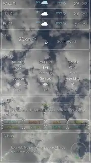
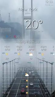
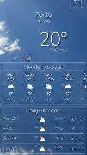
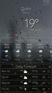
Description Weather Earth
What if you could visualize global weather patterns on a living, interactive globe?
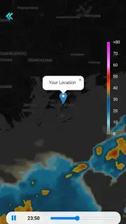
Weather Earth presents meteorological data not as simple icons on a map, but as a dynamic, three-dimensional model of our planet. The core interface is a detailed globe that you can rotate, zoom, and explore in real-time, with cloud cover, precipitation, storm systems, and pressure zones rendered directly onto its surface. This approach shifts the user experience from checking a forecast to observing atmospheric mechanics from a global perspective, providing context often missing from conventional weather services. The application sources data from multiple professional meteorological models to populate this visualization, aiming for both accuracy and an educational view of planetary weather dynamics.
Core Features and Analytical Tools
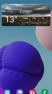
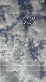
Beyond the central globe visualization, the app provides a suite of tools for detailed analysis. A tap on any location generates a comprehensive, multi-layered forecast panel. This panel breaks down data into distinct parameters such as temperature, wind speed and vector, humidity, precipitation probability, and barometric pressure, each with its own forecast timeline. A notable feature is the storm tracking module, which allows users to follow the projected path of major weather systems, with overlays for predicted intensity and associated warnings. For aviation or maritime interests, or simply for deeper understanding, the app includes specialized map layers for wind patterns at different altitudes and wave height data for oceanic regions.
Key Functional Advantages
The application’s primary strengths lie in its synthesis of data presentation and user control.
- Comprehensive Interactive Globe: The central 3D Earth model displays live cloud, rain, snow, and storm data with realistic animation.
- Multi-Source Forecast Aggregation: Presents forecast data derived from several global models, with noted discrepancies highlighted for user reference.
- Professional-Grade Data Layers: Toggleable overlays for radar, satellite imagery, wind streams, pressure isobars, and ocean wave charts.
- Hyper-Localized Weather Stations: Integrates user-submitted data from personal weather stations for ground-truth conditions in specific neighborhoods.
- Offline Mode for Saved Locations: Caches forecast data and basic map tiles for previously viewed areas to enable access without a live connection.
We suggest trying Weather Earth if your interest in meteorology extends beyond the daily temperature and you seek a more granular, visually engaging tool for planning and analysis.
Consider downloading the Weather Earth mobile app now for a more dimensional approach to weather intelligence.
Disclaimer: This application requires a persistent internet connection for real-time data and full functionality. It may contain optional in-app purchases for premium features or ad removal. Some advanced meteorological data and features are intended for informational purposes and should not be solely relied upon for critical safety decisions. Data usage can be significant when using high-resolution map layers and animations. The app may collect anonymized usage data to improve service. Always consult official sources for severe weather warnings.
Information
| Version | 1.0.1 |
| Developer | Develow |
| Requirements | Android Android + 7.0+ |
| Updated | 17.03.2026 |
| Size | 19.14 MB |
| Package | com.develow.weatherapp |
| Signature | 0ed6821813a64b6faa190e9088cb0746 |
| Architecture | armeabi-v7a, x86, arm64-v8a, x86_64 |


